It looks like hurricane Issac will at least skirt our area.
The strongest sustained winds generally go out in a 10 mile radius from the estimated center of the storm and these winds generally drop off 10 mph for every 10 miles from the center you happen to be. 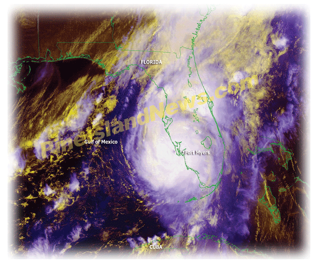 Now this doesn’t completely account for individual gusts or wind directions as it moves by your actual location. This wind direction also determines the amount and height of storm surge. However, the average SW FL thunderstorm can deliver 60mph winds. Be guided accordingly.
There are no certified shelters on Pine Island so if you feel you will need to leave, the nearest shelters are the North Ft. Myers & Cape Coral schools. These schools only provide shelter and will not accept pets and may not have provisions, e.g., food, water, essentials, when you get there. So take ready to eat snacks, meds, etc.
Also we understand that while it’s not real “macho” to prepare for a storm too far in advance, it’s also a real pain in the neck to have to do all the required preparation while it’s raining hard and windy like it often is anyway in the summertime in SW Florida.
The northern end of the island has the highest elevations for storm surge considerations but the rest of the Island can be affected from the surge from just a category 2 storm if the wind direction is right for this.
In case of a direct hit and sustained damage to the area you will need to have a permit that you can get from Station 1 at 5700 Pine Island Rd. The Fire Dept. says you will need to complete the application that you can download from their website http://www.pineislandfire.org/res%20appl.htm and show your driver’s license with your Pine Island address on it. If your driver’s license does not have your Pine Island address on it you will need to show a copy of a bill or tax certificate or something of the sort that has your name and address on it along with your license and you will be issued two passes with your information. This pass will hang in your car window so that the authorities will not be required to stop your car to look at your license. You will need this in order to be permitted back on the island. If your children need passes they will have to provide the same information and the same applies.
The Matlacha bridge will be closed to boat traffic once the winds reach 45 mph with all traffic being stopped once the storm is imminent. Normally the bridge is closed when the winds reach 65 mph.
If you feel should leave your home, turn off utilities to prevent further water damage or fire by electrical short or gas leak. Many homes that survive the actual storm don’t survive these aftereffects.
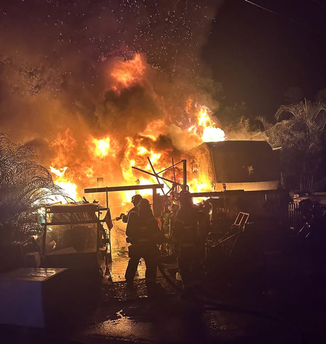
NEVER run generators in close or in enclosed areas. Make a temporary lean-to or other covering to protect it from the weather but they must have air and they get hot and can catch other things on fire if they are touching.
We just wish the global warming experts would step up to the plate and do the hurricane forecasting for a change (or for that matter, tsunamis, volcanoes, tornado's, earthquakes, etc.) with their typical high level of certainty because the current crop of weather PHD’s, experts and forecasters just don’t seem to have that same certainty, confidence or accuracy even five days out.